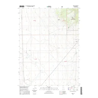
2017 Map of Terra
USGS Topo · Published 2017About this map
The small community of Terra is the primary settlement in this portion of Tooele County, situated at the base of high terrain where the Wasatch National Forest begins. This landscape is defined by the transition from the arid expanse of the basin into the rugged foothills, marked by vital water sources such as Jenning Springs, Willow Patch Springs, and Cold Spring. These points of permanent water likely dictated early land use and settlement patterns in an otherwise parched environment.
Find a feature on this map
26 named features on this map. Tap any name to fly to it.
Don’t see what you’re looking for? This feature index may not catch every label — zoom into the map to look around manually.
Map Details
Editions of this 2017 Terra Map
This is the sole edition of this map. No revisions or reprints were ever made.
Other maps of this area

1885 · Tooele Valley
USGS Topo · 1:250,000

1953 · Tooele
USGS Topo · 1:250,000

1955 · Tabbys Peak SE
USGS Topo · 1:24,000

1955 · Camels Back Ridge NE
USGS Topo · 1:24,000

1955 · Davis Knolls
USGS Topo · 1:24,000

1955 · Deseret Peak
USGS Topo · 1:62,500

1955 · Tooele
USGS Topo · 1:250,000

1971 · Onaqui Mts South
USGS Topo · 1:24,000

1973 · Hickman Knolls
USGS Topo · 1:24,000

1979 · Rush Valley
USGS Topo · 1:100,000