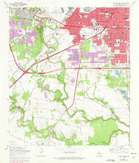
1967 Map of Terrell Wells
USGS Topo · Published 1975About this map
The Medina River and Leon Creek converge in this southern portion of Bexar County, defining a landscape where the urban expansion of San Antonio meets industrial and military infrastructure. In the northern reaches, Lackland AFB and Kelly Air Force Base anchor the local economy, while the Leon Creek Powerplant and various Gravel Pits indicate the area's mid-century utility. The map documents suburban growth in neighborhoods like Terrell Wells and Palo Alto Heights, alongside established religious and educational centers including St Leonards Ch and McCollum High Sch. Farther south, the terrain opens into agricultural and riparian corridors, featuring landmarks like Garza Crossing and the Hernandez Cem, illustrating the transition from dense city blocks to the rural river bottomlands of the Medina River.
Find a feature on this map
66 named features on this map. Tap any name to fly to it.
Don’t see what you’re looking for? This feature index may not catch every label — zoom into the map to look around manually.
Map Details
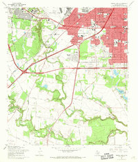
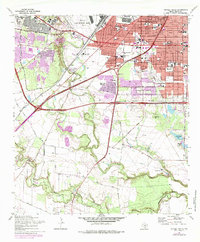
Editions of this 1967 Terrell Wells Map
3 editions found
Other maps of this area

1953 · Culebra Hill
USGS Topo · 1:24,000

1953 · San Antonio West
USGS Topo · 1:24,000

1953 · San Antonio East
USGS Topo · 1:24,000

1953 · Terrell Wells
USGS Topo · 1:24,000

1953 · Macdona
USGS Topo · 1:24,000

1953 · Southton
USGS Topo · 1:24,000

1954 · San Antonio
USGS Topo · 1:250,000

1957 · San Antonio
USGS Topo · 1:250,000

1958 · Losoya
USGS Topo · 1:24,000

1958 · Somerset
USGS Topo · 1:24,000