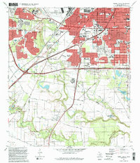
1992 Map of Terrell Wells
USGS Topo · Published 1992About this map
San Antonio expands southward in this early 1990s revision, where the urban grid of Terrell Wells and Palo Alto Heights meets the riparian corridors of the Medina River and Leon Creek. The map documents a diverse institutional landscape, from the historic San Jose mission area to the modern campus of Palo Alto Community College. The northern half is dominated by significant military infrastructure at Kelly Air Force Base and Lackland AFB, while the south retains a more open character defined by the Southern Pacific tracks and numerous water bodies like Mitchell Lake. Local genealogists will find several burial sites noted, including the Lona China Cem and Hernandez Cem. The presence of gravel pits and sewage disposal facilities alongside established schools like McCollum High Sch illustrates the complex land-use patterns on the city's periphery during this era.
Find a feature on this map
70 named features on this map. Tap any name to fly to it.
Don’t see what you’re looking for? This feature index may not catch every label — zoom into the map to look around manually.
Map Details
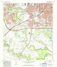
Editions of this 1992 Terrell Wells Map
2 editions found
Other maps of this area

1953 · Culebra Hill
USGS Topo · 1:24,000

1953 · San Antonio West
USGS Topo · 1:24,000

1953 · San Antonio East
USGS Topo · 1:24,000

1953 · Terrell Wells
USGS Topo · 1:24,000

1953 · Macdona
USGS Topo · 1:24,000

1953 · Southton
USGS Topo · 1:24,000

1954 · San Antonio
USGS Topo · 1:250,000

1957 · San Antonio
USGS Topo · 1:250,000

1958 · Losoya
USGS Topo · 1:24,000

1958 · Somerset
USGS Topo · 1:24,000