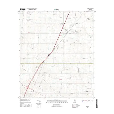
2015 Map of Terry
USGS Topo · Published 2015About this map
The town of Terry serves as the focal point of this 2015 survey, situated at a historic crossroads where Railroad Ave and the modern I-55 corridor intersect. This landscape on the border of Hinds and Copiah counties is defined by a dense network of small tributaries, including Beaverdam Cr and Harris Cr, which have shaped the local topography and settlement patterns. Several cemeteries, such as the Benevolent Society Cem and the County Line Cem, provide critical points of interest for genealogists tracing families in this rural Mississippi corridor. Scattered settlements like Morgans Store and Egypt Hill illustrate the persistent rural character of the region, while labels like Moncure and Rosemary mark established locales along the arterial roads and rail lines that connect these communities to the larger state economy.
Find a feature on this map
98 named features on this map. Tap any name to fly to it.
Don’t see what you’re looking for? This feature index may not catch every label — zoom into the map to look around manually.
Map Details
Editions of this 2015 Terry Map
This is the sole edition of this map. No revisions or reprints were ever made.
Other maps of this area
1903 · Jackson
USGS Topo · 1:125,000
1906 · Florence
USGS Topo · 1:62,500
1908 · Florence
USGS Topo · 1:62,500
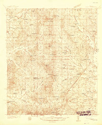
1937 · Terry
USGS Topo · 1:48,000
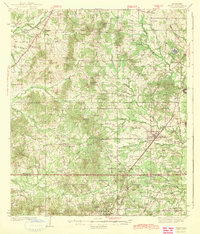
1943 · Terry
USGS Topo · 1:62,500
1953 · Natchez
USGS Topo · 1:250,000

1955 · Jackson
USGS Topo · 1:250,000
1956 · Natchez
USGS Topo · 1:250,000
1959 · Natchez
USGS Topo · 1:250,000

1961 · Jackson
USGS Topo · 1:250,000