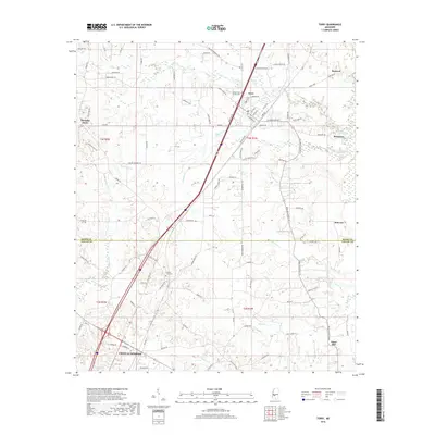
2018 Map of Terry
USGS Topo · Published 2018About this map
Crystal Springs and Terry anchor this modern topographical study of the Central Mississippi landscape, spanning the border of Hinds and Copiah counties. The area is defined by a dense network of creek systems, including the southward-flowing Beaverdam Cr, White Oak Cr, and Chestnut Cr, which carve through the terrain toward Chautauqua Lake. The town of Terry is shown in detail, including its local street grid and proximity to the Terry Cem and the Benevolent Society Cem.
Find a feature on this map
103 named features on this map. Tap any name to fly to it.
Don’t see what you’re looking for? This feature index may not catch every label — zoom into the map to look around manually.
Map Details
Editions of this 2018 Terry Map
This is the sole edition of this map. No revisions or reprints were ever made.
Other maps of this area
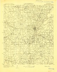
1903 · Jackson
USGS Topo · 1:125,000
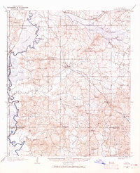
1906 · Florence
USGS Topo · 1:62,500
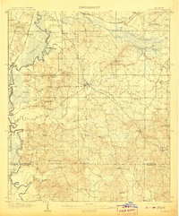
1908 · Florence
USGS Topo · 1:62,500
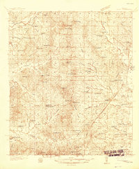
1937 · Terry
USGS Topo · 1:48,000
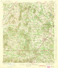
1943 · Terry
USGS Topo · 1:62,500
1953 · Natchez
USGS Topo · 1:250,000

1955 · Jackson
USGS Topo · 1:250,000
1956 · Natchez
USGS Topo · 1:250,000
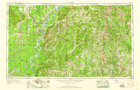
1959 · Natchez
USGS Topo · 1:250,000

1961 · Jackson
USGS Topo · 1:250,000