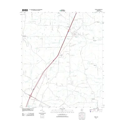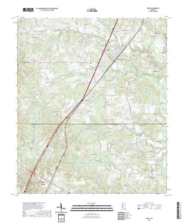
2024 Map of Terry
USGS Topo · Published 2024About this map
Terry and its surrounding rural corridors anchor this survey of the central Mississippi landscape, where the Hinds and Copiah county line bisects a network of small settlements and family cemeteries. The terrain is defined by a dendritic drainage system including Harris Creek and Beaverdam Creek, which dictated the early placement of outlying communities like Bernard, Rosemary, and Moncure. Local history is preserved in small burial grounds such as the Benevolent Society Cem and the Terry Cem near the town center.
Find a feature on this map
105 named features on this map. Tap any name to fly to it.
Don’t see what you’re looking for? This feature index may not catch every label — zoom into the map to look around manually.
Map Details
Editions of this 2024 Terry Map
This is the sole edition of this map. No revisions or reprints were ever made.
Historical Maps of Crystal Springs Through Time
8 maps found