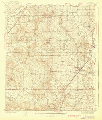
1943 Map of Terry
USGS Topo · Published 1943About this map
Terry sits as a primary rail hub along the Illinois Central corridor in this early 1940s survey of southern Hinds County. The landscape is defined by a dense network of rural infrastructure, where family names and local congregations anchor the community. Clusters of civic life appear at Fairchilds Crossroads and Dabney Crossroads, while numerous country schools like McWade Sch and Spring Hill Sch are distributed across the drainage basins of Fourteenmile Creek and Beaverdam Creek.
Find a feature on this map
79 named features on this map. Tap any name to fly to it.
Don’t see what you’re looking for? This feature index may not catch every label — zoom into the map to look around manually.
Map Details
Editions of this 1943 Terry Map
2 editions found

Other maps of this area

1903 · Jackson
USGS Topo · 1:125,000

1905 · Jackson
USGS Topo · 1:48,000

1906 · Florence
USGS Topo · 1:62,500

1908 · Jackson
USGS Topo · 1:62,500

1908 · Florence
USGS Topo · 1:62,500

1934 · Raymond
USGS Topo · 1:48,000

1937 · Raymond
USGS Topo · 1:62,500

1937 · Terry
USGS Topo · 1:48,000

1938 · Edwards
USGS Topo · 1:62,500

1942 · Raymond
USGS Topo · 1:62,500