Loading...
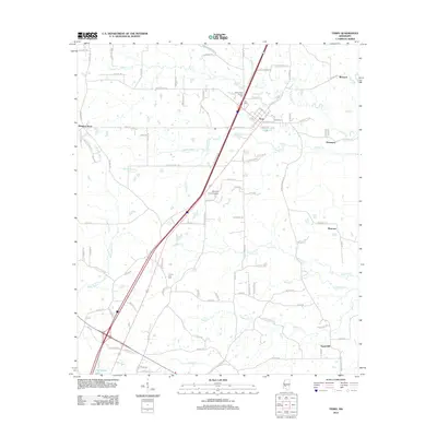
Loading map...1971 Map of Terry
USGS Topo · Published 1973About this map
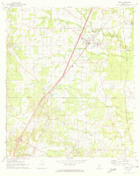
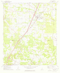
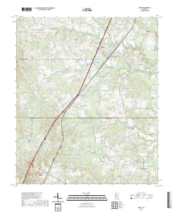
The Illinois Central Gulf railroad corridor anchors this survey of the Hinds and Copiah county line, where small communities and family landmarks define the landscape. The town of Terry serves as the central hub, featuring the Terry Academy and the historic Benevolent Society Cem. To the south, the northern edge of Crystal Springs is visible, marking the transition between these two important Mississippi municipalities.
Find a feature on this map
31 named features on this map. Tap any name to fly to it.
Don’t see what you’re looking for? This feature index may not catch every label — zoom into the map to look around manually.
Map Details
Date Portrayed1971
Date Published1973
PublisherU.S. Geological Survey
Map TypeTopographic
Scale1:24,000
Physical Dimensions21.4 x 26.8 inches
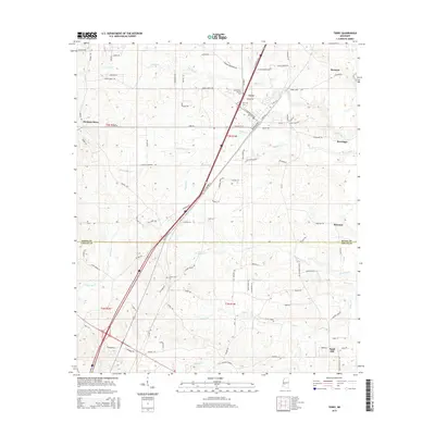
Editions of this 1971 Terry Map
2 editions found
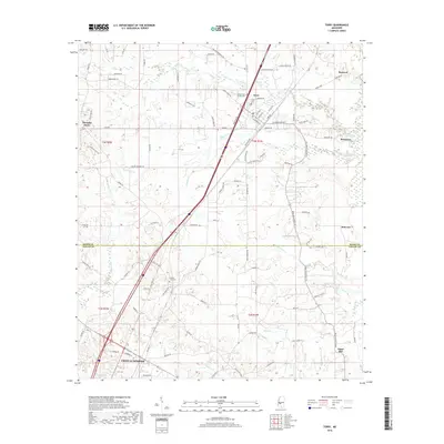
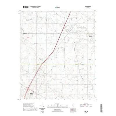
Historical Maps of Crystal Springs Through Time
8 maps found
Featured Locations
Source Details
SourceU.S. Geological Survey
CopyrightPublic Domain