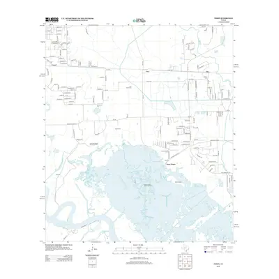
2012 Map of Terry
USGS Topo · Published 2012About this map
The Bessie Heights Oil and Gas Field and North Port Neches Oil and Gas Field define the industrial and environmental landscape of this coastal Texas region in 2012. Located north of Port Arthur, the map reveals a transition from inland settlements like Terry and Connell to the expansive wetlands of the Neches River delta. The presence of several family and community burial grounds, including the Kishi Colony Cem and Stephenson Cem, provides significant value for genealogists tracing local history.
Find a feature on this map
137 named features on this map. Tap any name to fly to it.
Don’t see what you’re looking for? This feature index may not catch every label — zoom into the map to look around manually.
Map Details
Editions of this 2012 Terry Map
This is the sole edition of this map. No revisions or reprints were ever made.
Other maps of this area

1926 · Terry
USGS Topo · 1:24,000

1926 · Lakeview
USGS Topo · 1:24,000

1926 · Vidor
USGS Topo · 1:24,000

1926 · Texla
USGS Topo · 1:24,000

1926 · Mauriceville
USGS Topo · 1:24,000

1932 · Beaumont
USGS Topo · 1:62,500

1932 · Port Arthur NE
USGS Topo · 1:31,680

1943 · West of Greens Bayou
USGS Topo · 1:24,000

1943 · Orangefield
USGS Topo · 1:24,000

1943 · Mauriceville
USGS Topo · 1:24,000