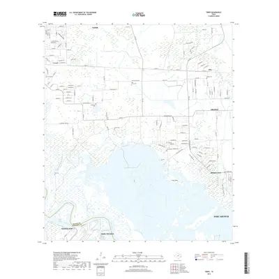
2019 Map of Terry
USGS Topo · Published 2019About this map
The Neches River dominates this coastal landscape, serving as the border between Orange and Jefferson counties. In the southern reaches of this map, the waterway splits into several channels including the Smith Bluff Cutoff and Block Bayou, surrounding marshy features like Gum Island. This area captures a complex transition from industrial maritime hubs to low-lying wetlands, with the larger settlements of Port Arthur, Port Neches, and Nederland appearing at the southwestern edge.
Find a feature on this map
123 named features on this map. Tap any name to fly to it.
Don’t see what you’re looking for? This feature index may not catch every label — zoom into the map to look around manually.
Map Details
Editions of this 2019 Terry Map
This is the sole edition of this map. No revisions or reprints were ever made.
Other maps of this area

1926 · Terry
USGS Topo · 1:24,000

1926 · Lakeview
USGS Topo · 1:24,000

1926 · Vidor
USGS Topo · 1:24,000

1926 · Texla
USGS Topo · 1:24,000

1926 · Mauriceville
USGS Topo · 1:24,000

1932 · Beaumont
USGS Topo · 1:62,500

1932 · Port Arthur NE
USGS Topo · 1:31,680

1943 · West of Greens Bayou
USGS Topo · 1:24,000

1943 · Orangefield
USGS Topo · 1:24,000

1943 · Mauriceville
USGS Topo · 1:24,000