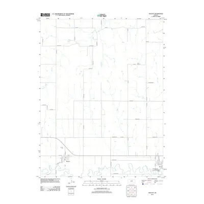
2012 Map of Tescott
USGS Topo · Published 2012About this map
The meandering Saline River defines the southern reach of this Kansas landscape, winding through a patchwork of agricultural sections before reaching the settlement of Tescott. This area of Ottawa County exhibits a classic midwestern grid of rural routes, including N 20th Rd and Evergreen Rd, which connect the small riverside communities. To the west, the village of Beverly sits north of a significant river bend, marked by its own local Beverly Cemetery and a central post office.
Find a feature on this map
45 named features on this map. Tap any name to fly to it.
Don’t see what you’re looking for? This feature index may not catch every label — zoom into the map to look around manually.
Map Details
Editions of this 2012 Tescott Map
This is the sole edition of this map. No revisions or reprints were ever made.
Other maps of this area

1892 · Salina
USGS Topo · 1:125,000

1892 · Minneapolis
USGS Topo · 1:125,000

1894 · Ellsworth
USGS Topo · 1:125,000

1894 · Beloit
USGS Topo · 1:125,000

1942 · Salina
USGS Topo · 1:125,000

1955 · Culver
USGS Topo · 1:24,000

1955 · Manhattan
USGS Topo · 1:250,000

1955 · Great Bend
USGS Topo · 1:250,000

1955 · Hutchinson
USGS Topo · 1:250,000

1955 · Beloit
USGS Topo · 1:250,000