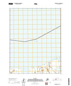
2020 Map of Teshekpuk D-1 NW
USGS Topo · Published 2020About this map
The Beaufort Sea shoreline dominates this Arctic landscape, where the frozen waters of the North Slope meet a low-lying coastal plain. Along the southern edge of the map, Avatanak Bight creates a distinctive indentation in the coastline, characterized by complex wetland patterns and shifting hydrology. This 2020 record captures the intricate network of lakes and marshes that define the region, illustrating the seasonal nature of the terrain where water and land are often indistinguishable. The map also delineates the Public Land Survey System grid for Township 18 North across Ranges 5, 6, and 7 West, providing a modern cartographic framework for this remote stretch of the Alaska coast.
Find a feature on this map
5 named features on this map. Tap any name to fly to it.
Don’t see what you’re looking for? This feature index may not catch every label — zoom into the map to look around manually.
Map Details
Editions of this 2020 Teshekpuk D-1 NW Map
This is the sole edition of this map. No revisions or reprints were ever made.
Other maps of this area

1951 · Teshekpuk
USGS Topo · 1:250,000

1955 · Teshekpuk
USGS Topo · 1:250,000

1955 · Teshekpuk D-1
USGS Topo · 1:63,360
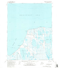
1955 · Teshekpuk D-2
USGS Topo · 1:63,360

1964 · Teshekpuk
USGS Topo · 1:250,000
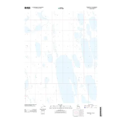
2013 · Teshekpuk D-1 SE
USGS Topo · 1:25,000
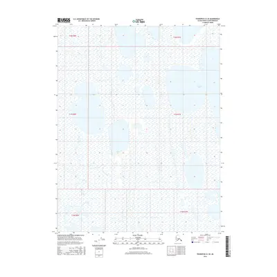
2016 · Teshekpuk D-2 SE
USGS Topo · 1:25,000
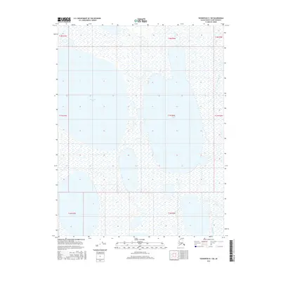
2016 · Teshekpuk D-1 SW
USGS Topo · 1:25,000
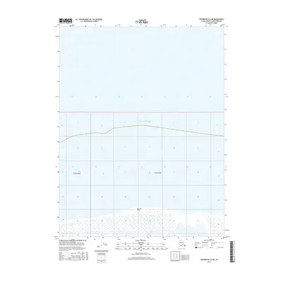
2016 · Teshekpuk D-2 NE
USGS Topo · 1:25,000
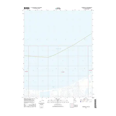
2016 · Teshekpuk D-1 NW
USGS Topo · 1:25,000