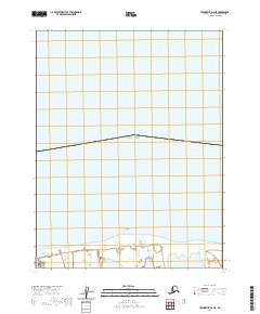
2020 Map of Teshekpuk D-2 NE
USGS Topo · Published 2020About this map
The Beaufort Sea coast of northern Alaska is defined here by the fragile interface of the Arctic Ocean and the low-lying coastal plain. Along this stretch of the North Slope, McLeod Point serves as a prominent geographic marker where the shoreline meets the sea. The landscape is characterized by a high density of wetlands and coastal inlets, typical of the region's permafrost-influenced hydrology. This 2020 edition provides precise detail of the shoreline's configuration within t18n r7w and t18n r8w, offering a digital-era record of this remote environment. While the map is devoid of human settlements or structures, it meticulously documents the transition from open water to the marshy coastal fringes of the Beaufort coastline.
Find a feature on this map
4 named features on this map. Tap any name to fly to it.
Don’t see what you’re looking for? This feature index may not catch every label — zoom into the map to look around manually.
Map Details
Editions of this 2020 Teshekpuk D-2 NE Map
This is the sole edition of this map. No revisions or reprints were ever made.
Other maps of this area

1951 · Teshekpuk
USGS Topo · 1:250,000

1955 · Teshekpuk
USGS Topo · 1:250,000

1955 · Teshekpuk D-1
USGS Topo · 1:63,360
1955 · Teshekpuk D-2
USGS Topo · 1:63,360

1964 · Teshekpuk
USGS Topo · 1:250,000
2016 · Teshekpuk D-2 SE
USGS Topo · 1:25,000
2016 · Teshekpuk D-1 SW
USGS Topo · 1:25,000
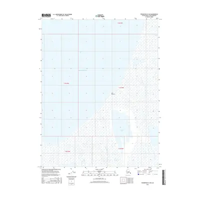
2016 · Teshekpuk D-2 SW
USGS Topo · 1:25,000
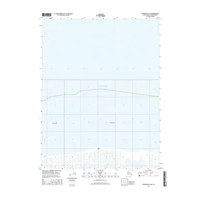
2016 · Teshekpuk D-2 NE
USGS Topo · 1:25,000
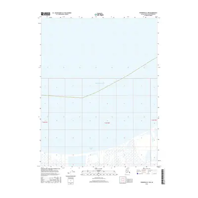
2016 · Teshekpuk D-1 NW
USGS Topo · 1:25,000