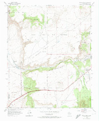
1953 Map of Tetilla Peak
USGS Topo · Published 1974About this map
Tetilla Peak and the surrounding volcanic landscape of the Caja Del Rio Plateau define this region of north-central New Mexico. In the early 1950s, the area remained deeply connected to its ancestral Spanish land grants, including the La Majada Grant and the Mesita De Juana Lopez Grant. Settlement is concentrated along the Santa Fe River and Cienega Creek, where the villages of La Bajada and La Cienega sit near the base of the dramatic La Bajada Mesa escarpment. The map documents a landscape transitioning into the modern era, showing the Pan American Highway cutting across the mesas while the At & SF railroad skirts the southern edge. Archaeological history is present at the Tsinat Ruins, while local industry is represented by the La Bajada Mine and the Turquoise Trading Post near Cerro Bonanza.
Find a feature on this map
41 named features on this map. Tap any name to fly to it.
Don’t see what you’re looking for? This feature index may not catch every label — zoom into the map to look around manually.
Map Details
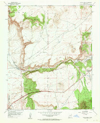
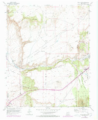
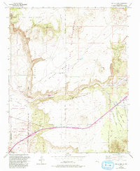
Editions of this 1953 Tetilla Peak Map
5 editions found
Other maps of this area

1892 · San Pedro
USGS Topo · 1:125,000

1892 · Santa Clara
USGS Topo · 1:125,000

1951 · Agua Fria
USGS Topo · 1:24,000

1951 · Turquoise Hill
USGS Topo · 1:24,000

1952 · Turquoise Hill
USGS Topo · 1:24,000

1952 · Montoso Peak
USGS Topo · 1:24,000

1953 · Cochiti Dam
USGS Topo · 1:24,000

1953 · Santo Domingo Pueblo
USGS Topo · 1:24,000

1953 · Tetilla Peak
USGS Topo · 1:24,000

1953 · Agua Fria
USGS Topo · 1:62,500