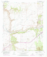
1953 Map of Tetilla Peak
USGS Topo · Published 1978About this map
Tetilla Peak and the high volcanic landscape of the Caja del Rio Grant overlook a complex network of ancient mesas and colonial land grants in this mid-century New Mexico study. The Santa Fe River carves through the Cañada de lo Santa Fe, separating the sprawling La Bajada Mesa from the lower drainage systems to the south. Historically significant sites such as the Tsinat Ruins and the La Bajada Mine illustrate the long span of human activity in this arid region, from early indigenous settlement to later mineral extraction.
Find a feature on this map
36 named features on this map. Tap any name to fly to it.
Don’t see what you’re looking for? This feature index may not catch every label — zoom into the map to look around manually.
Map Details
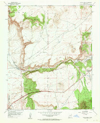
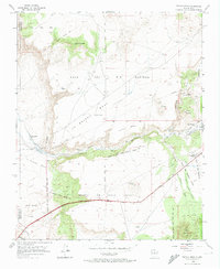
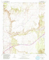
Editions of this 1953 Tetilla Peak Map
5 editions found
Other maps of this area

1892 · San Pedro
USGS Topo · 1:125,000

1892 · Santa Clara
USGS Topo · 1:125,000

1951 · Agua Fria
USGS Topo · 1:24,000

1951 · Turquoise Hill
USGS Topo · 1:24,000

1952 · Turquoise Hill
USGS Topo · 1:24,000

1952 · Montoso Peak
USGS Topo · 1:24,000

1953 · Cochiti Dam
USGS Topo · 1:24,000

1953 · Santo Domingo Pueblo
USGS Topo · 1:24,000

1953 · Tetilla Peak
USGS Topo · 1:24,000

1953 · Agua Fria
USGS Topo · 1:62,500