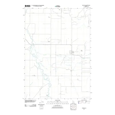
2011 Map of Tetonia
USGS Topo · Published 2011About this map
Tetonia serves as a central hub on this 2011 landscape, where the agricultural plains meet the intricate water networks of eastern Idaho. The Teton River meanders along the western edge of the quadrangle, joined by several tributaries including Spring Creek and South Leigh Creek. This topographic record highlights a region defined by its small settlements and rural infrastructure, with Felt to the north and Cache to the south.
Find a feature on this map
41 named features on this map. Tap any name to fly to it.
Don’t see what you’re looking for? This feature index may not catch every label — zoom into the map to look around manually.
Map Details
Editions of this 2011 Tetonia Map
This is the sole edition of this map. No revisions or reprints were ever made.
Other maps of this area

1943 · Driggs
USGS Topo · 1:62,500

1943 · Garns Mtn
USGS Topo · 1:62,500

1946 · Driggs
USGS Topo · 1:62,500

1946 · Garns Mtn
USGS Topo · 1:62,500

1955 · Driggs
USGS Topo · 1:250,000

1958 · Driggs
USGS Topo · 1:250,000

1962 · Driggs
USGS Topo · 1:250,000

1965 · Lamont
USGS Topo · 1:24,000

1965 · Packsaddle Lake
USGS Topo · 1:24,000

1965 · Mc Renolds Reservoir
USGS Topo · 1:24,000