
1965 Map of Packsaddle Lake
USGS Topo · Published 1967About this map
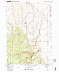
Targhee National Forest dominates the western half of this mid-1960s survey, where the Big Hole Mountains rise sharply above the Teton Basin. The map captures a landscape transitioning from the high-altitude wilderness around Packsaddle Lake and Grandview Point to the agricultural lowlands bordering the Teton River. The presence of the University of Idaho Agricultural Experiment Station and scattered storage bins indicates the importance of local crop research and storage in this high-altitude valley.
Find a feature on this map
24 named features on this map. Tap any name to fly to it.
Don’t see what you’re looking for? This feature index may not catch every label — zoom into the map to look around manually.
Map Details
Editions of this 1965 Packsaddle Lake Map
2 editions found
Other maps of this area

1943 · Driggs
USGS Topo · 1:62,500

1943 · Garns Mtn
USGS Topo · 1:62,500

1946 · Driggs
USGS Topo · 1:62,500

1946 · Garns Mtn
USGS Topo · 1:62,500

1955 · Driggs
USGS Topo · 1:250,000

1958 · Driggs
USGS Topo · 1:250,000

1962 · Driggs
USGS Topo · 1:250,000

1965 · Lamont
USGS Topo · 1:24,000
1965 · Linderman Dam
USGS Topo · 1:24,000
1965 · Drummond
USGS Topo · 1:24,000