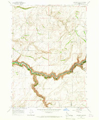
1965 Map of Linderman Dam
USGS Topo · Published 1967About this map
The Teton River carves a deep, winding path through the landscape of the Upper Snake River Valley in this mid-1960s survey. The map centers on the Linderman Dam Spillway, a critical piece of water infrastructure situated near the Linderman Ranch. This area reflects a quiet agricultural and ranching economy, where small community centers like the Grange Hall and a local Church served the surrounding farmsteads.
Find a feature on this map
14 named features on this map. Tap any name to fly to it.
Don’t see what you’re looking for? This feature index may not catch every label — zoom into the map to look around manually.
Map Details
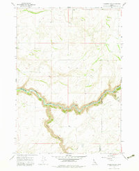
Editions of this 1965 Linderman Dam Map
2 editions found
Other maps of this area

1949 · Newdale
USGS Topo · 1:24,000

1950 · Newdale
USGS Topo · 1:24,000

1951 · White Owl Butte
USGS Topo · 1:24,000

1955 · Ashton
USGS Topo · 1:250,000

1955 · Driggs
USGS Topo · 1:250,000

1958 · Driggs
USGS Topo · 1:250,000

1958 · Ashton
USGS Topo · 1:250,000

1960 · Ashton
USGS Topo · 1:250,000

1962 · Driggs
USGS Topo · 1:250,000

1965 · Lemon Lake
USGS Topo · 1:24,000