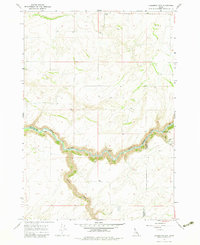
1965 Map of Linderman Dam
USGS Topo · Published 1983About this map
The Teton River cuts a deep, winding path through the high plains of eastern Idaho, defining the border between Fremont and Madison Counties. This 1960s survey documents the landscape prior to the completion of the Linderman Dam, showing the river in its free-flowing state before major topographic alterations. The surrounding plateau is characterized by dry-land agricultural features like a dedicated Wheat field and rural gathering points such as the Grange Hall and a local Church located in the northern reaches.
Find a feature on this map
14 named features on this map. Tap any name to fly to it.
Don’t see what you’re looking for? This feature index may not catch every label — zoom into the map to look around manually.
Map Details
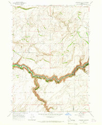
Editions of this 1965 Linderman Dam Map
2 editions found
Other maps of this area

1949 · Newdale
USGS Topo · 1:24,000

1950 · Newdale
USGS Topo · 1:24,000

1951 · White Owl Butte
USGS Topo · 1:24,000

1955 · Ashton
USGS Topo · 1:250,000

1955 · Driggs
USGS Topo · 1:250,000

1958 · Driggs
USGS Topo · 1:250,000

1958 · Ashton
USGS Topo · 1:250,000

1960 · Ashton
USGS Topo · 1:250,000

1962 · Driggs
USGS Topo · 1:250,000

1965 · Lemon Lake
USGS Topo · 1:24,000