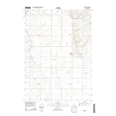
2013 Map of Tetonia
USGS Topo · Published 2013About this map
Tetonia sits at the heart of the Teton Basin in this 2013 study of eastern Idaho, where the high-altitude agricultural landscape is defined by the winding course of the Teton River. The settlement patterns here reflect a deep-rooted history of small farming communities and family legacies, evidenced by the presence of three distinct burial grounds: Felt Cem, Haden Cem, and Cache Clawson Cem. These locations, alongside the small towns of Felt and Cache, provide a clear view of the regional genealogy and the spatial relationship between early 20th-century hubs and the surrounding countryside.
Find a feature on this map
57 named features on this map. Tap any name to fly to it.
Don’t see what you’re looking for? This feature index may not catch every label — zoom into the map to look around manually.
Map Details
Editions of this 2013 Tetonia Map
This is the sole edition of this map. No revisions or reprints were ever made.
Other maps of this area

1943 · Driggs
USGS Topo · 1:62,500

1943 · Garns Mtn
USGS Topo · 1:62,500

1946 · Driggs
USGS Topo · 1:62,500

1946 · Garns Mtn
USGS Topo · 1:62,500

1955 · Driggs
USGS Topo · 1:250,000

1958 · Driggs
USGS Topo · 1:250,000

1962 · Driggs
USGS Topo · 1:250,000

1965 · Lamont
USGS Topo · 1:24,000

1965 · Packsaddle Lake
USGS Topo · 1:24,000

1965 · Mc Renolds Reservoir
USGS Topo · 1:24,000