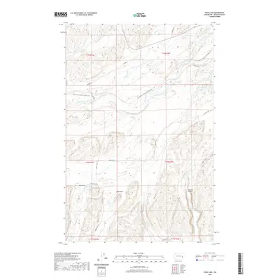
2020 Map of Texas Lake
USGS Topo · Published 2020About this map
Texas Lake and the dramatic basalt-cut geography of Whitman County define this portion of the Palouse. The landscape is characterized by a series of seasonal and permanent water bodies, including Alkali Lake, Stevens Lake, and the small Cherry Cove Lake. A network of drainage systems like Texas Draw and Mason Draw feed into the central Rock Creek, which features the notable Rock Creek Falls near the eastern edge of the survey.
Find a feature on this map
32 named features on this map. Tap any name to fly to it.
Don’t see what you’re looking for? This feature index may not catch every label — zoom into the map to look around manually.
Map Details
Editions of this 2020 Texas Lake Map
This is the sole edition of this map. No revisions or reprints were ever made.
Other maps of this area

1950 · La Crosse
USGS Topo · 1:62,500

1950 · Endicott
USGS Topo · 1:62,500

1952 · La Crosse
USGS Topo · 1:62,500

1955 · Pullman
USGS Topo · 1:250,000

1955 · Spokane
USGS Topo · 1:250,000

1958 · Spokane
USGS Topo · 1:250,000

1958 · Pullman
USGS Topo · 1:250,000

1964 · Lamont NE
USGS Topo · 1:24,000

1964 · Lamont NW
USGS Topo · 1:24,000

1964 · Rock Lake
USGS Topo · 1:24,000