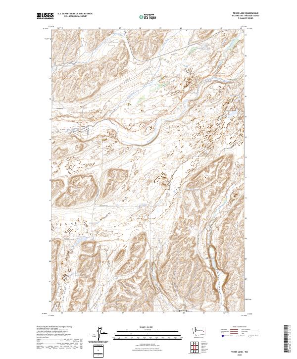
2023 Map of Texas Lake
USGS Topo · Published 2023About this map
Texas Lake and the surrounding coulee landscape of Whitman County define this portion of the Channeled Scablands. The terrain is marked by dramatic erosional features like Little Cove Canyon, Big Cove Canyon, and Texas Draw, reflecting the unique geologic history of the region. A network of rural routes, including Mail Route Rd and Texas Lake Rd, provides access to these isolated water bodies and drainage systems.
Find a feature on this map
31 named features on this map. Tap any name to fly to it.
Don’t see what you’re looking for? This feature index may not catch every label — zoom into the map to look around manually.
Map Details
Editions of this 2023 Texas Lake Map
This is the sole edition of this map. No revisions or reprints were ever made.
Other maps of this area

1950 · La Crosse
USGS Topo · 1:62,500

1950 · Endicott
USGS Topo · 1:62,500

1952 · La Crosse
USGS Topo · 1:62,500

1955 · Pullman
USGS Topo · 1:250,000

1955 · Spokane
USGS Topo · 1:250,000

1958 · Spokane
USGS Topo · 1:250,000

1958 · Pullman
USGS Topo · 1:250,000

1964 · Lamont NE
USGS Topo · 1:24,000

1964 · Lamont NW
USGS Topo · 1:24,000

1964 · Rock Lake
USGS Topo · 1:24,000