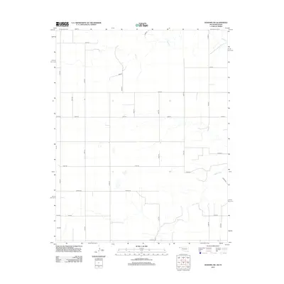
2012 Map of Texhoma SW
USGS Topo · Published 2012About this map
The Beaver River winds through this panhandle landscape, marking a distinct break in the high plains topography of Texas County. This 2012 survey documents a rural environment organized by a rigorous grid of section-line roads, such as Co Hwy-51 and Co Road Gg, which facilitate movement between agricultural properties. Ephemeral drainage features like Sand Cr cut across the northern reaches, eventually making their way toward the river valley. The transportation network is anchored by several designated county routes, including Co Hwy-50 and Co Hwy-25, illustrating how infrastructure adapts to the sparse settlement patterns and vast distances of the Oklahoma Panhandle. This map serves as a primary reference for the modern layout of these remote section lines and the seasonal watercourses that define the local drainage basin.
Find a feature on this map
27 named features on this map. Tap any name to fly to it.
Don’t see what you’re looking for? This feature index may not catch every label — zoom into the map to look around manually.
Map Details
Editions of this 2012 Texhoma SW Map
This is the sole edition of this map. No revisions or reprints were ever made.
Other maps of this area

1954 · Perryton
USGS Topo · 1:250,000

1954 · Dalhart
USGS Topo · 1:250,000

1958 · Perryton
USGS Topo · 1:250,000

1958 · Dalhart
USGS Topo · 1:250,000

1962 · Dalhart
USGS Topo · 1:250,000

1964 · Stratford NE
USGS Topo · 1:24,000

1965 · Stevens
USGS Topo · 1:24,000

1971 · Griggs NE
USGS Topo · 1:24,000

1971 · Griggs
USGS Topo · 1:24,000

1973 · Texhoma NE
USGS Topo · 1:24,000