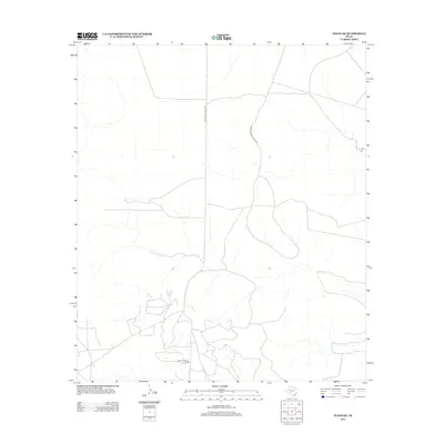
2012 Map of Texon SE
USGS Topo · Published 2012About this map
The World Powell Oil Field anchors the southern portion of this landscape in Crockett County, where a dense network of utility roads and local trails illustrates the intensive energy production in West Texas during the early 21st century. The terrain is marked by the winding paths of intermittent drainage channels that cross between industrial access routes. Primary transit is provided by Farm-To-Market Road 1676 and the Ranch Road 1676 Spur, which connect the isolated extraction sites to the regional highway system. The map serves as a record of the modern petroleum infrastructure, showing how service roads like 07 Rd have been carved into the arid brushland to facilitate field operations.
Find a feature on this map
4 named features on this map. Tap any name to fly to it.
Don’t see what you’re looking for? This feature index may not catch every label — zoom into the map to look around manually.
Map Details
Editions of this 2012 Texon SE Map
This is the sole edition of this map. No revisions or reprints were ever made.
Other maps of this area

1920 · Big Lake
USGS Topo · 1:62,500

1922 · Big Lake
USGS Topo · 1:62,500

1928 · Rankin
USGS Topo · 1:125,000

1929 · Sheffield
USGS Topo · 1:125,000

1954 · Sonora
USGS Topo · 1:250,000

1954 · San Angelo
USGS Topo · 1:250,000

1958 · Sonora
USGS Topo · 1:250,000

1958 · San Angelo
USGS Topo · 1:250,000

1965 · San Angelo
USGS Topo · 1:250,000

1967 · Owens Creek NE
USGS Topo · 1:24,000