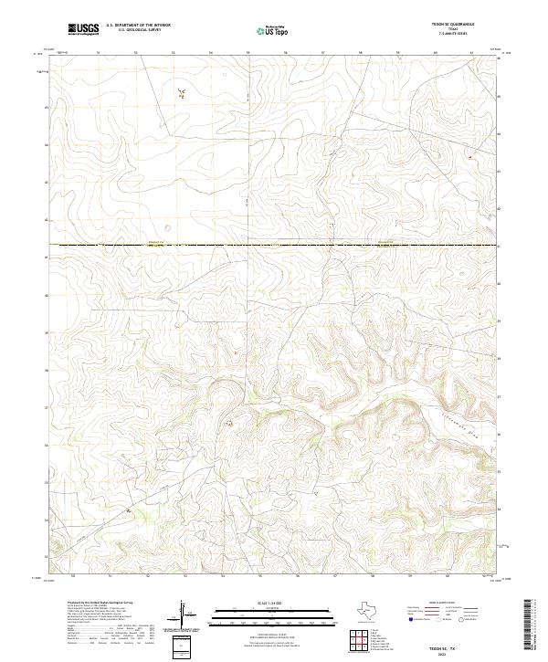
2022 Map of Texon SE
USGS Topo · Published 2022About this map
The high plateau country of the Permian Basin is documented here along the shared boundary of Reagan and Crockett Counties. The terrain is defined by the deep incisions of the Schneemann Draw system, which winds through the southeast corner of the map. This arid landscape is sparsely developed, with land use primarily structured around ranching and transit via rural infrastructure like FM 1676 and Co Rd 208. The lack of dense settlement or named town centers reflects the remote, utilitarian nature of this West Texas region, where the primary features are the natural drainage patterns and the surveyed roads that connect distant ranch operations across the county line.
Find a feature on this map
5 named features on this map. Tap any name to fly to it.
Don’t see what you’re looking for? This feature index may not catch every label — zoom into the map to look around manually.
Map Details
Editions of this 2022 Texon SE Map
This is the sole edition of this map. No revisions or reprints were ever made.
Other maps of this area

1920 · Big Lake
USGS Topo · 1:62,500

1922 · Big Lake
USGS Topo · 1:62,500

1928 · Rankin
USGS Topo · 1:125,000

1929 · Sheffield
USGS Topo · 1:125,000

1954 · Sonora
USGS Topo · 1:250,000

1954 · San Angelo
USGS Topo · 1:250,000

1958 · Sonora
USGS Topo · 1:250,000

1958 · San Angelo
USGS Topo · 1:250,000

1965 · San Angelo
USGS Topo · 1:250,000

1967 · Owens Creek NE
USGS Topo · 1:24,000