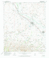
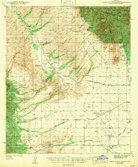
1960 Map of Thatcher
USGS Topo · Published 1967About this map
The Gila River valley in the early 1960s was a corridor of agricultural intensity and early Arizona settlement, anchored by the Southern Pacific railroad. Along this route, towns like Thatcher, Pima, and Central are surrounded by a complex network of irrigation infrastructure, including the Smithville Canal, Dodge Canal, and Union Canal. These waterways supported the local economy, evidenced by the Cotton Gin at Cork and various pumping stations that drew from the river and artesian wells.
Find a feature on this map
143 named features on this map. Tap any name to fly to it.
Don’t see what you’re looking for? This feature index may not catch every label — zoom into the map to look around manually.
Map Details
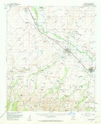
Editions of this 1960 Thatcher Map
2 editions found
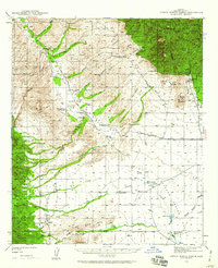
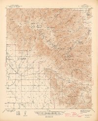
Other maps of this area
1940 · Sierra Bonita Ranch
USGS Topo · 1:62,500

1942 · Sierra Bonita Ranch
USGS Topo · 1:62,500
1942 · Mt. Graham
USGS Topo · 1:62,500
1943 · Sierra Bonita Ranch
USGS Topo · 1:62,500
1944 · Jackson Mtn.
USGS Topo · 1:62,500

1945 · Mt. Graham
USGS Topo · 1:62,500

1946 · Jackson Mtn.
USGS Topo · 1:62,500

1954 · Silver City
USGS Topo · 1:250,000

1954 · Clifton
USGS Topo · 1:250,000

1954 · Mesa
USGS Topo · 1:250,000