
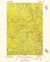
1952 Map of Thayer
USGS Topo · Published 1954About this map
The Chicago and North Western railway cuts through the heart of the Ottawa National Forest in this 1952 topographic study, connecting the timber-rich highlands of Gogebic County. Small rail-side settlements like Gogebic Station, Thayer, and Blacks Spur mark the transportation corridor, serving as vital links in an era when the railroad was the primary mover for the region's logging and recreational interests. The landscape is defined by its complex hydrology, featuring the South Branch Ontonagon River and numerous glacial lakes such as Beatons Lake and Little Beatons Lake. Significant elevation and surveillance points are noted at the Matchwood Lookout Tower and Watersmeet Lookout Tower, while natural landmarks like Kakabika Falls and Wolverine Falls emphasize the dramatic descent of the local waterways through the northern Michigan wilderness.
Find a feature on this map
92 named features on this map. Tap any name to fly to it.
Don’t see what you’re looking for? This feature index may not catch every label — zoom into the map to look around manually.
Map Details
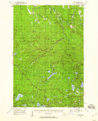
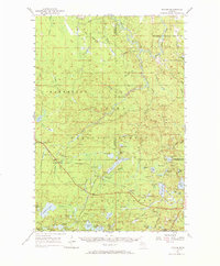
Editions of this 1952 Thayer Map
4 editions found
Other maps of this area

1938 · Phelps
USGS Topo · 1:48,000

1939 · Trout Lake
USGS Topo · 1:48,000

1946 · Star Lake
USGS Topo · 1:48,000

1946 · Trout Lake
USGS Topo · 1:48,000

1949 · Trout Lake
USGS Topo · 1:48,000

1949 · Rockland
USGS Topo · 1:62,500

1950 · Phelps
USGS Topo · 1:48,000

1950 · Star Lake
USGS Topo · 1:48,000

1951 · Rockland
USGS Topo · 1:62,500

1952 · Watersmeet
USGS Topo · 1:62,500