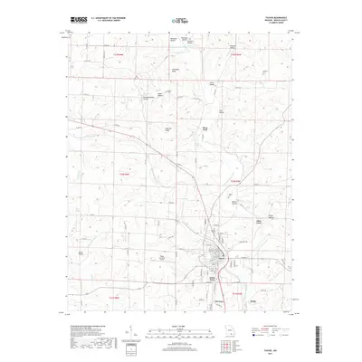
2017 Map of Thayer
USGS Topo · Published 2017About this map
Thayer serves as the primary hub of this Missouri-Arkansas border landscape, where the town grid is flanked by Green Town and Old Town. The geography is defined by the winding course of the Warm Fork Spring River, which dictates the placement of early crossings like Sloan Ford and Allen Ford. This 2017 survey reflects a deeply ingrained rural structure, where family lineages are marked at Walker Cem and Childress Cem.
Find a feature on this map
100 named features on this map. Tap any name to fly to it.
Don’t see what you’re looking for? This feature index may not catch every label — zoom into the map to look around manually.
Map Details
Editions of this 2017 Thayer Map
This is the sole edition of this map. No revisions or reprints were ever made.
Other maps of this area
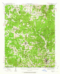
1943 · Thayer
USGS Topo · 1:62,500
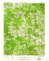
1944 · Couch
USGS Topo · 1:62,500
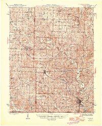
1946 · Thayer
USGS Topo · 1:62,500
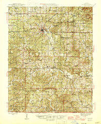
1946 · Couch
USGS Topo · 1:62,500

1957 · Poplar Bluff
USGS Topo · 1:250,000
1959 · Poplar Bluff
USGS Topo · 1:250,000
1960 · Poplar Bluff
USGS Topo · 1:250,000
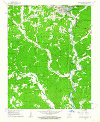
1962 · Mammoth Spring
USGS Topo · 1:24,000
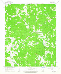
1962 · Camp
USGS Topo · 1:24,000
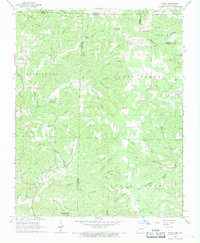
1968 · Wirth
USGS Topo · 1:24,000