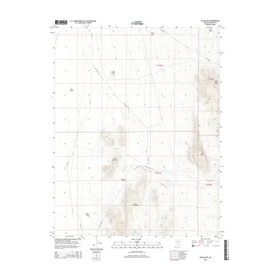
2014 Map of The Bluffs
USGS Topo · Published 2014About this map
Robber Roost Hills and the Burnt Springs Range dominate this interior Nevada landscape, where high-desert terrain is marked by intricate canyon systems and isolated knolls. The map reveals a land defined by its geology, from the steep escarpments of The Bluffs to the deep incisions of Monument Canyon and Black Canyon. Remote travel and land use are traced via secondary routes like Hatch Rd, Ely Spring Rd, and Dog Hollow Rd, which navigate the broad expanse of Bristol Valley.
Find a feature on this map
19 named features on this map. Tap any name to fly to it.
Don’t see what you’re looking for? This feature index may not catch every label — zoom into the map to look around manually.
Map Details
Editions of this 2014 The Bluffs Map
This is the sole edition of this map. No revisions or reprints were ever made.
Other maps of this area

1885 · Pioche
USGS Topo · 1:250,000

1886 · Pioche
USGS Topo · 1:250,000

1916 · Highland
USGS Topo · 1:62,500

1918 · Highland
USGS Topo · 1:62,500

1953 · Highland Peak
USGS Topo · 1:24,000

1954 · Caliente
USGS Topo · 1:250,000

1959 · Caliente
USGS Topo · 1:250,000
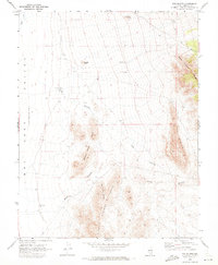
1970 · The Bluffs
USGS Topo · 1:24,000
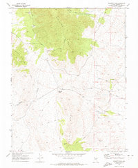
1970 · Bennett Pass
USGS Topo · 1:24,000
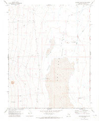
1970 · Deadman Spring SE
USGS Topo · 1:24,000