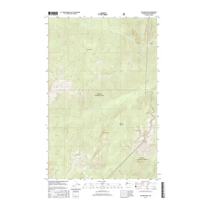
2017 Map of The Brothers
USGS Topo · Published 2017About this map
The Brothers stands as the defining summit in this 2017 survey of the Olympic Mountains, where the landscape transitions between the protected wilderness of Olympic National Park and the managed timberlands of Olympic National Forest. The map detail reveals an intricate network of alpine hydrology, including Lake Constance to the north and the cluster of Upper Lena Lake, Milk Lake, and Scout Lake further south. These high-elevation water bodies feed significant drainage systems like the Dosewallips River and the Duckabush River, which carve deep valleys such as Bull Elk Canyon. The distribution of natural features like Soda Springs and Wildcat Lake alongside trails such as the Upper Lena Lake path highlights the area's role as a primary destination for backcountry recreation. Researchers can trace the exact topography of the peaks and the various creek systems, including Lena Cr and Muscott Cr, that define this interior portion of the Olympic Peninsula.
Find a feature on this map
33 named features on this map. Tap any name to fly to it.
Don’t see what you’re looking for? This feature index may not catch every label — zoom into the map to look around manually.
Map Details
Editions of this 2017 The Brothers Map
This is the sole edition of this map. No revisions or reprints were ever made.
Other maps of this area

1938 · Mt Constance
USGS Topo · 1:125,000

1944 · Mt. Angeles
USGS Topo · 1:62,500

1946 · Mt. Angeles
USGS Topo · 1:62,500

1946 · Tyler Peak
USGS Topo · 1:62,500

1947 · The Brothers
USGS Topo · 1:62,500

1947 · Mt. Steel
USGS Topo · 1:62,500

1948 · Tyler Peak
USGS Topo · 1:62,500

1950 · The Brothers
USGS Topo · 1:62,500

1950 · Mt. Steel
USGS Topo · 1:62,500

1958 · Seattle
USGS Topo · 1:250,000