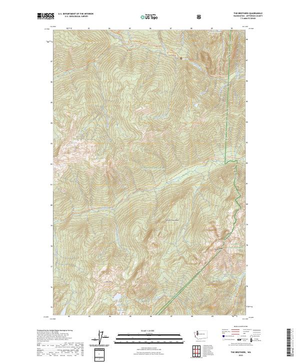
2023 Map of The Brothers
USGS Topo · Published 2023About this map
The Brothers peaks stand as a prominent landmark within the Olympic Mountains, surrounded by protected federal lands that define this wilderness landscape. This survey delineates the complex intersection of the Olympic National Park, Buckhorn Wilderness, and The Brothers Wilderness. The drainage patterns are clearly defined by the Dosewallips River to the north and the Duckabush River bisecting the central terrain, feeding from high-elevation water bodies like Lake Constance and Wildcat Lake.
Find a feature on this map
46 named features on this map. Tap any name to fly to it.
Don’t see what you’re looking for? This feature index may not catch every label — zoom into the map to look around manually.
Map Details
Editions of this 2023 The Brothers Map
This is the sole edition of this map. No revisions or reprints were ever made.
Other maps of this area

1938 · Mt Constance
USGS Topo · 1:125,000

1944 · Mt. Angeles
USGS Topo · 1:62,500

1946 · Mt. Angeles
USGS Topo · 1:62,500

1946 · Tyler Peak
USGS Topo · 1:62,500

1947 · The Brothers
USGS Topo · 1:62,500

1947 · Mt. Steel
USGS Topo · 1:62,500

1948 · Tyler Peak
USGS Topo · 1:62,500

1950 · The Brothers
USGS Topo · 1:62,500

1950 · Mt. Steel
USGS Topo · 1:62,500

1958 · Seattle
USGS Topo · 1:250,000