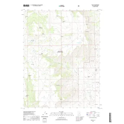
2020 Map of The Cap
USGS Topo · Published 2020About this map
Manti-La Sal National Forest defines the high-country landscape of this Emery County region, where the prominent elevations of North Horn Mtn and South Horn Mtn overlook a complex network of canyons and hollows. The terrain is marked by seasonal water sources and livestock management features, including the aptly named Baseball Pond and Barewire Pond. Named swales like Reid and Nielson Swale and Clay Banks Swale suggest a history of grazing and land use by local families, while drainage systems such as Rock Canyon Cr flow through deeply incised features like Killpack Canyon. Modern water management is evident in the West Clawson Reservoir and Long Point Number 3 Reservoir, which serve the arid surroundings. This high plateau area transitions from the flat expanse of Indian Trail Bench to the steep ridges of Biddlecome Ridge, reflecting the geological complexity of the Wasatch Plateau's eastern edge.
Find a feature on this map
29 named features on this map. Tap any name to fly to it.
Don’t see what you’re looking for? This feature index may not catch every label — zoom into the map to look around manually.
Map Details
Editions of this 2020 The Cap Map
This is the sole edition of this map. No revisions or reprints were ever made.
Other maps of this area

1885 · Manti
USGS Topo · 1:250,000

1895 · Manti
USGS Topo · 1:250,000

1922 · Wasatch
USGS Topo · 1:31,680

1923 · Castle Dale
USGS Topo · 1:62,500

1923 · Hiawatha
USGS Topo · 1:62,500

1925 · Castle Dale
USGS Topo · 1:62,500

1925 · Hiawatha
USGS Topo · 1:62,500

1956 · Price
USGS Topo · 1:250,000

1960 · Price
USGS Topo · 1:250,000

1962 · Price
USGS Topo · 1:250,000