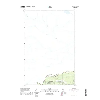
2019 Map of The Cascades
USGS Topo · Published 2019About this map
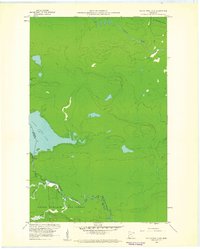
The Pigeon River serves as the prominent natural boundary between Canada and the United States, carving through a landscape defined by its northern waterways. In the southern portion of the map, the Grand Portage National Monument preserves a vital corridor of early transit and trade, including the historic Grand Portage Trl. The eponymous The Cascades are situated along this river border, marking a significant drop in elevation within the rugged river valley. Farther north, the drainage basin is dominated by the winding course of the Arrow River and the Little Whitefish River, which flow through largely uninhabited territory towards Pine Lake. This 2019 survey illustrates the enduring isolation of this borderland, where modern infrastructure like Cowboys Rd remains sparse against the established path of the Pine River.
Find a feature on this map
11 named features on this map. Tap any name to fly to it.
Don’t see what you’re looking for? This feature index may not catch every label — zoom into the map to look around manually.
Map Details
Editions of this 2019 The Cascades Map
This is the sole edition of this map. No revisions or reprints were ever made.
Other maps of this area

1958 · Hancock
USGS Topo · 1:250,000

1959 · Mineral Center
USGS Topo · 1:24,000

1959 · Fort William
USGS Topo · 1:250,000
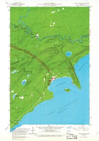
1959 · Grand Portage
USGS Topo · 1:24,000

1960 · Hancock
USGS Topo · 1:250,000
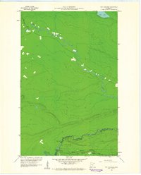
1960 · The Cascades
USGS Topo · 1:24,000
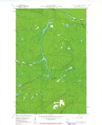
1960 · Farquhar Peak
USGS Topo · 1:24,000
1960 · South Fowl Lake
USGS Topo · 1:24,000

1961 · Hancock
USGS Topo · 1:250,000

1966 · Hancock
USGS Topo · 1:250,000