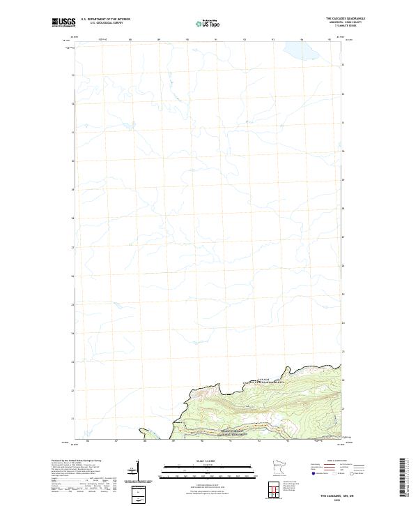
2022 Map of The Cascades
USGS Topo · Published 2022About this map
The Pigeon River forms a natural and political boundary along the northern edge of this 2022 survey, separating the United States and Canada. This wilderness area is dominated by the Grand Portage National Monument, where the topography rises sharply from the riverbanks toward the interior. The map illustrates a landscape defined by significant water features, most notably the namesake falls of The Cascades. Movement through this borderland is limited to a few specific corridors, including the historic Grand Portage Trl and Cowboys Rd, which provide access through the dense terrain. These features reflect the area's long-standing importance as a portage route, bypassing the difficult rapids of the river to connect the interior with Lake Superior.
Find a feature on this map
7 named features on this map. Tap any name to fly to it.
Don’t see what you’re looking for? This feature index may not catch every label — zoom into the map to look around manually.
Map Details
Editions of this 2022 The Cascades Map
This is the sole edition of this map. No revisions or reprints were ever made.
Other maps of this area

1958 · Hancock
USGS Topo · 1:250,000

1959 · Mineral Center
USGS Topo · 1:24,000

1959 · Fort William
USGS Topo · 1:250,000
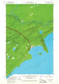
1959 · Grand Portage
USGS Topo · 1:24,000

1960 · Hancock
USGS Topo · 1:250,000
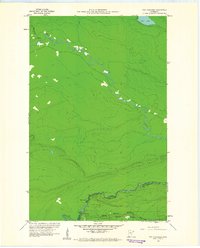
1960 · The Cascades
USGS Topo · 1:24,000
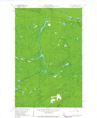
1960 · Farquhar Peak
USGS Topo · 1:24,000
1960 · South Fowl Lake
USGS Topo · 1:24,000

1961 · Hancock
USGS Topo · 1:250,000

1966 · Hancock
USGS Topo · 1:250,000