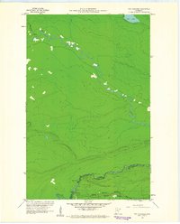
1960 Map of The Cascades
USGS Topo · Published 1961About this map
The Canada United States border winds through this northern landscape, following the course of the Arrow River and the Pigeon River. This 1960 survey highlights a remote and significant corridor of the North Woods, where the international boundary meets the Grand Portage National Monument. At the western terminus of the historic Grand Portage trail lies the Site of Fort Charlotte, a key location for the fur trade era located along the banks of the Pigeon River. The terrain is defined by its water systems, including the namesake rapids at The Cascades and the prominent Pine Lake in the northeastern corner. This map serves as a detailed record of the borderlands between Thunder Bay District and Cook County, showing the intersection of Ontario and Minnesota just before the modern era of wilderness management took its current form.
Find a feature on this map
10 named features on this map. Tap any name to fly to it.
Don’t see what you’re looking for? This feature index may not catch every label — zoom into the map to look around manually.
Map Details
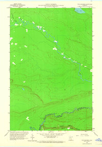
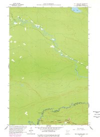
Editions of this 1960 The Cascades Map
3 editions found
Other maps of this area

1958 · Hancock
USGS Topo · 1:250,000

1959 · Mineral Center
USGS Topo · 1:24,000

1959 · Fort William
USGS Topo · 1:250,000
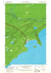
1959 · Grand Portage
USGS Topo · 1:24,000

1960 · Hancock
USGS Topo · 1:250,000
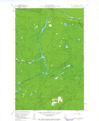
1960 · Farquhar Peak
USGS Topo · 1:24,000
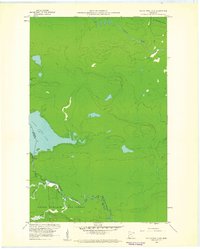
1960 · South Fowl Lake
USGS Topo · 1:24,000

1961 · Hancock
USGS Topo · 1:250,000

1966 · Hancock
USGS Topo · 1:250,000

1968 · Fort William
USGS Topo · 1:250,000