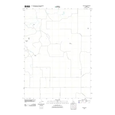
2010 Map of The Dip
USGS Topo · Published 2010About this map
Perkins Ranch sits at the northern end of this high-altitude landscape in Caribou County, where the eastern slopes of the Chesterfield Range meet a series of drainages and volcanic formations. The terrain is defined by notable volcanic landmarks like Little Crater and the prominent Red Mountain, while water sources such as Indian Spring and Indian Creek trace the northern boundary.
Find a feature on this map
19 named features on this map. Tap any name to fly to it.
Don’t see what you’re looking for? This feature index may not catch every label — zoom into the map to look around manually.
Map Details
Editions of this 2010 The Dip Map
This is the sole edition of this map. No revisions or reprints were ever made.
Other maps of this area

1914 · Henry
USGS Topo · 1:48,000

1916 · Henry
USGS Topo · 1:62,500

1917 · Portneuf
USGS Topo · 1:62,500

1948 · Bancroft
USGS Topo · 1:62,500

1948 · Soda Springs
USGS Topo · 1:62,500

1949 · Bancroft
USGS Topo · 1:62,500

1949 · Soda Springs
USGS Topo · 1:62,500

1955 · Preston
USGS Topo · 1:250,000

1958 · Preston
USGS Topo · 1:250,000

1962 · Preston
USGS Topo · 1:250,000