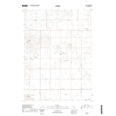
2020 Map of The Dip
USGS Topo · Published 2020About this map
The Blackfoot Lava Field dominates the central landscape of this Caribou County region, illustrating a stark volcanic geography characterized by craters and distinct mountain ridges. To the west, the Chesterfield Range and Corral Creek Ridge provide a sharp contrast to the basin-like features such as The Dip and Lake Hollow. The area is defined by its water sources and high-elevation landmarks, including Indian Spring and the prominent Red Mtn.
Find a feature on this map
30 named features on this map. Tap any name to fly to it.
Don’t see what you’re looking for? This feature index may not catch every label — zoom into the map to look around manually.
Map Details
Editions of this 2020 The Dip Map
This is the sole edition of this map. No revisions or reprints were ever made.
Other maps of this area

1914 · Henry
USGS Topo · 1:48,000

1916 · Henry
USGS Topo · 1:62,500

1917 · Portneuf
USGS Topo · 1:62,500

1948 · Bancroft
USGS Topo · 1:62,500

1948 · Soda Springs
USGS Topo · 1:62,500

1949 · Bancroft
USGS Topo · 1:62,500

1949 · Soda Springs
USGS Topo · 1:62,500

1955 · Preston
USGS Topo · 1:250,000

1958 · Preston
USGS Topo · 1:250,000

1962 · Preston
USGS Topo · 1:250,000