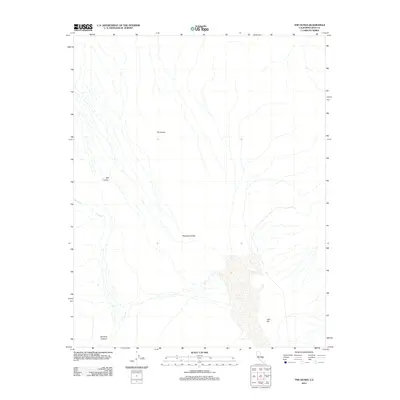
2012 Map of The Dunes
USGS Topo · Published 2012About this map
Panamint Valley defines this arid landscape in Inyo County, where the topography is shaped by significant drainage systems and distinct geological formations. To the north, the shifting sands of The Dunes stand as a central landmark, while the southern reaches are marked by the presence of Lake Hill and the winding path of Lee Wash. This 2012 survey illustrates a terrain of dramatic elevation changes, captured through the deep cuts of Mill Canyon and the notable descent of Rainbow Canyon. The mapping by the U.S. Geological Survey details a region defined more by its natural hydrography and canyon systems than by human infrastructure, offering a clear view of the basin and range geology characteristic of this portion of California.
Find a feature on this map
6 named features on this map. Tap any name to fly to it.
Don’t see what you’re looking for? This feature index may not catch every label — zoom into the map to look around manually.
Map Details
Editions of this 2012 The Dunes Map
This is the sole edition of this map. No revisions or reprints were ever made.
Other maps of this area

1908 · Ballarat
USGS Topo · 1:250,000

1913 · Ballarat
USGS Topo · 1:250,000

1948 · Death Valley
USGS Topo · 1:250,000

1950 · Darwin
USGS Topo · 1:62,500

1950 · Ubehebe Peak
USGS Topo · 1:62,500

1951 · Darwin
USGS Topo · 1:62,500

1951 · Ubehebe Peak
USGS Topo · 1:62,500

1951 · Panamint Butte
USGS Topo · 1:62,500

1951 · Marble Canyon
USGS Topo · 1:62,500

1954 · Death Valley
USGS Topo · 1:250,000