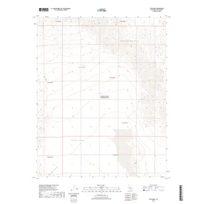
2018 Map of The Dunes
USGS Topo · Published 2018About this map
Death Valley National Park encompasses a stark geological landscape defined by the shifting sands of The Dunes and the dramatic verticality of the Cottonwood Mountains. This 2018 survey details a remote section of the Mojave Desert where the high peaks descend into the broad, arid expanse of the Panamint Valley. The topography here is shaped by ephemeral drainage systems including Lee Wash, Mill Canyon, and Rainbow Canyon, which illustrate the erosive power of seasonal water in an otherwise desert environment.
Find a feature on this map
15 named features on this map. Tap any name to fly to it.
Don’t see what you’re looking for? This feature index may not catch every label — zoom into the map to look around manually.
Map Details
Editions of this 2018 The Dunes Map
This is the sole edition of this map. No revisions or reprints were ever made.
Other maps of this area

1908 · Ballarat
USGS Topo · 1:250,000

1913 · Ballarat
USGS Topo · 1:250,000

1948 · Death Valley
USGS Topo · 1:250,000

1950 · Darwin
USGS Topo · 1:62,500

1950 · Ubehebe Peak
USGS Topo · 1:62,500

1951 · Darwin
USGS Topo · 1:62,500

1951 · Ubehebe Peak
USGS Topo · 1:62,500

1951 · Panamint Butte
USGS Topo · 1:62,500

1951 · Marble Canyon
USGS Topo · 1:62,500

1954 · Death Valley
USGS Topo · 1:250,000