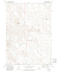
1971 Map of The Gap
USGS Topo · Published 1988About this map
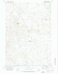
The Gap and its surrounding high plains landscape are defined by a network of ephemeral watercourses and prominent local landmarks in central Wyoming. This early 1970s survey captures the region's ranching character, centered on the Gap Sch and several family-named or utilitarian reservoirs like Mary Alice Reservoir and Rourke Reservoir. The topography is marked by several distinctive heights, including Antelope Butte and Rocky Butte, which overlook the winding paths of Antelope Creek and Tisdale Creek. The land is further etched by drainage features such as Shearing Pen Draw and Lee Draw, suggesting a landscape utilized for livestock and resource extraction, evidenced by scattered Gravel Pits and a prominent Radio Tower. The intricate arrangement of fence lines and drill holes across the terrain reflects the methodical development of the Wyoming backcountry during this era.
Find a feature on this map
16 named features on this map. Tap any name to fly to it.
Don’t see what you’re looking for? This feature index may not catch every label — zoom into the map to look around manually.
Map Details
Editions of this 1971 The Gap Map
2 editions found
Other maps of this area

1954 · Gillette
USGS Topo · 1:250,000

1955 · Gillette
USGS Topo · 1:250,000

1958 · Gillette
USGS Topo · 1:250,000

1962 · Gillette
USGS Topo · 1:250,000

1971 · Scaper Reservoir
USGS Topo · 1:24,000

1971 · Coyote Draw
USGS Topo · 1:24,000

1971 · The Gap SW
USGS Topo · 1:24,000

1971 · Gillette East
USGS Topo · 1:24,000
1971 · Saddle Horse Butte
USGS Topo · 1:24,000
1971 · The Gap
USGS Topo · 1:24,000