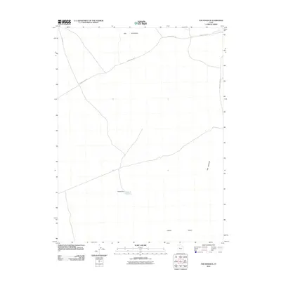
2010 Map of The Hogback
USGS Topo · Published 2010About this map
Hogback Reservoir and its associated Hogback Dam serve as the central landmarks in this high-desert landscape of Juab County. The terrain is defined by prominent topographical rises, most notably Keg Mountain to the north and the eponymous ridge of The Hogback to the east. Broad alluvial features such as Crater Bench dominate the southern portion of the quadrangle. Transport through this arid region is facilitated by a network of unimproved desert routes, including the long-stretching Jericho Callao Rd and the Keg Pass Rd, which navigate the gaps between the stony uplands. The presence of Baker Hot Springs Rd on the eastern margin hints at the geothermal activity found just beyond the map's boundary.
Find a feature on this map
8 named features on this map. Tap any name to fly to it.
Don’t see what you’re looking for? This feature index may not catch every label — zoom into the map to look around manually.
Map Details
Editions of this 2010 The Hogback Map
This is the sole edition of this map. No revisions or reprints were ever made.
Other maps of this area

1885 · Sevier Desert
USGS Topo · 1:250,000

1953 · Delta
USGS Topo · 1:250,000

1958 · Delta
USGS Topo · 1:250,000

1962 · Delta
USGS Topo · 1:250,000

1971 · Baker Hot Springs
USGS Topo · 1:24,000

1971 · Picture Rock Hills
USGS Topo · 1:24,000

1971 · Drum Mts Well
USGS Topo · 1:24,000

1971 · Crater Bench Reservoir
USGS Topo · 1:24,000
1971 · Keg Mtn Ranch
USGS Topo · 1:24,000

1971 · Fumarole Butte
USGS Topo · 1:24,000