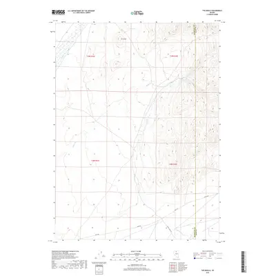
2018 Map of The Knolls
USGS Topo · Published 2018About this map
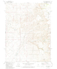
The Knolls rise as the prominent topographic feature in this arid section of Nevada, where the High Desert landscape is defined by its intermittent water sources and vital ranching routes. Water remains the primary shaper of human activity here, with Garnet Spring providing a stationary point of interest amidst a network of drainage channels including Jake Cr, Spring Br, and Kelly Cr. These seasonal watercourses dictate the flow of the land as it transitions across the Humboldt and Elko County line. Transportation in the region is anchored by the southern crossing of Midas Rd and Lower Clover Rd, routes that connect this remote basin to the larger mining and ranching hubs of the Great Basin. The grid of the Public Land Survey System, marked by Township 39 North, provides the administrative framework for these wide-open cattle ranges.
Find a feature on this map
12 named features on this map. Tap any name to fly to it.
Don’t see what you’re looking for? This feature index may not catch every label — zoom into the map to look around manually.
Map Details
Editions of this 2018 The Knolls Map
This is the sole edition of this map. No revisions or reprints were ever made.
Other maps of this area

1882 · Paradise
USGS Topo · 1:250,000

1893 · Paradise
USGS Topo · 1:250,000

1955 · McDermitt
USGS Topo · 1:250,000

1959 · McDermitt
USGS Topo · 1:250,000
1965 · Jake Creek Mtn
USGS Topo · 1:24,000
1965 · Midas SW
USGS Topo · 1:24,000

1973 · Snowstorm Mtn
USGS Topo · 1:24,000

1980 · Dry Hills South
USGS Topo · 1:24,000
1980 · The Knolls
USGS Topo · 1:24,000
1980 · Kenny Creek
USGS Topo · 1:24,000