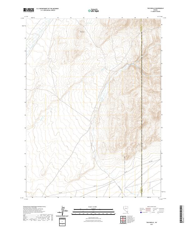
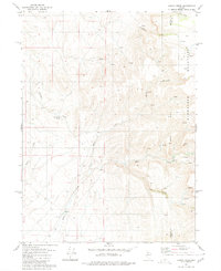
2021 Map of The Knolls
USGS Topo · Published 2021About this map
The Knolls rise from the high desert floor in this remote corner of Humboldt County, defining a landscape shaped by seasonal watercourses and subterranean springs. The hydrologic patterns of the region are clearly visible, with Kelly Cr and Jake Creek cutting through the arid terrain. Notable for its reliable water sources in an otherwise dry environment, the area is anchored by Garnet Spring and the drainage of Spring Br. The map reveals a sparsely settled territory where land use is dictated by the availability of water, showing the intersection of local roads and the underlying township and range grid systems that organize this vast northern Nevada expanse.
Find a feature on this map
5 named features on this map. Tap any name to fly to it.
Don’t see what you’re looking for? This feature index may not catch every label — zoom into the map to look around manually.
Map Details
Editions of this 2021 The Knolls Map
This is the sole edition of this map. No revisions or reprints were ever made.
Other maps of this area

1882 · Paradise
USGS Topo · 1:250,000

1893 · Paradise
USGS Topo · 1:250,000

1955 · McDermitt
USGS Topo · 1:250,000

1959 · McDermitt
USGS Topo · 1:250,000
1965 · Jake Creek Mtn
USGS Topo · 1:24,000
1965 · Midas SW
USGS Topo · 1:24,000

1973 · Snowstorm Mtn
USGS Topo · 1:24,000

1980 · Dry Hills South
USGS Topo · 1:24,000
1980 · The Knolls
USGS Topo · 1:24,000
1980 · Kenny Creek
USGS Topo · 1:24,000