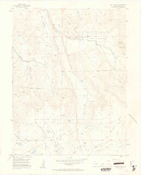
1955 Map of The Meadows
USGS Topo · Published 1963About this map
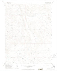
Grand Mesa National Forest dominates this high-altitude landscape, where high plateaus and alpine meadows are defined by an intricate network of livestock water management. The presence of Leon Cow Camp and several named reservoirs, including Mc Kelvie Res, Anderson Res, and Labbe Res, speaks to the importance of the high-country grazing economy during the mid-1950s. The terrain transitions from the open stretches of The Meadows and Sheep Flats to the steep slopes of Campbell Mountain and Boque Mountain. A complex system of irrigation infrastructure is evident through the Big Creek Ditch and numerous clusters of Beaver Ponds along Leon Creek and East Salt Creek, illustrating how seasonal water was captured and diverted from the high Flat Tops to support the surrounding valleys.
Find a feature on this map
45 named features on this map. Tap any name to fly to it.
Don’t see what you’re looking for? This feature index may not catch every label — zoom into the map to look around manually.
Map Details
Editions of this 1955 The Meadows Map
8 editions found
Other maps of this area

1955 · Collbran
USGS Topo · 1:24,000

1955 · Grand Mesa
USGS Topo · 1:24,000

1955 · The Meadows
USGS Topo · 1:24,000

1957 · Leadville
USGS Topo · 1:250,000

1959 · Leadville
USGS Topo · 1:250,000

1960 · Leadville
USGS Topo · 1:250,000

1960 · Leon Peak
USGS Topo · 1:24,000
1960 · Hawxhurst Creek
USGS Topo · 1:24,000

1960 · South Mamm Peak
USGS Topo · 1:24,000

1961 · Porter Mountain
USGS Topo · 1:24,000