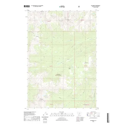
2020 Map of The Needles
USGS Topo · Published 2020About this map
Gallatin National Forest dominates this high-altitude landscape within the Absaroka Range, where a complex network of peaks and drainages defines the wilderness. The terrain is anchored by prominent summits such as Boulder Mtn and The Needles, with the southern reaches marked by Crow Mtn and War Eagle Mtn. Water systems are central to the geography here, from the headwaters of the Boulder River in the southeast to the isolated Silver Lake and Bridge Lake. Transportation through these heights is limited to specialized routes like Hi-Ho Silver and the Meattrack trail, alongside Natl Forest Develop Road 6639 Rd. This map captures the intricate hydrology of the region, tracing numerous seasonal and perennial flows including Tuscarora Cr, Meattrack Cr, and Fourmile Cr as they carve through the mountain passes.
Find a feature on this map
39 named features on this map. Tap any name to fly to it.
Don’t see what you’re looking for? This feature index may not catch every label — zoom into the map to look around manually.
Map Details
Editions of this 2020 The Needles Map
This is the sole edition of this map. No revisions or reprints were ever made.
Other maps of this area

1891 · Livingston
USGS Topo · 1:250,000

1893 · Livingston
USGS Topo · 1:250,000

1940 · Mt. Cowen
USGS Topo · 1:62,500

1940 · Mt Wallace
USGS Topo · 1:62,500

1941 · Mt Douglas
USGS Topo · 1:62,500

1942 · Cutoff Mtn
USGS Topo · 1:62,500

1943 · Mt Wallace
USGS Topo · 1:62,500

1943 · Mt Douglas
USGS Topo · 1:62,500

1943 · Mt Cowen
USGS Topo · 1:62,500

1944 · Cutoff Mtn
USGS Topo · 1:62,500