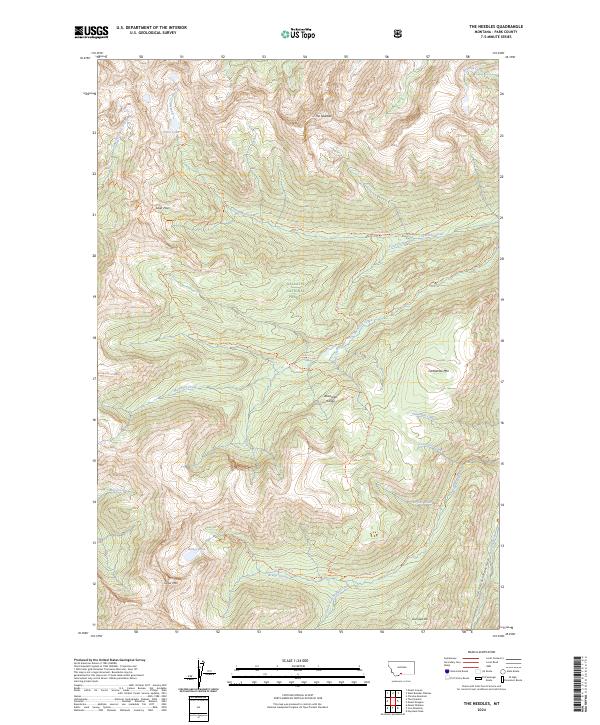
2024 Map of The Needles
USGS Topo · Published 2024About this map
The high ridges and glacial basins of the Absaroka Range dominate this modern survey of the Absaroka-Beartooth Wilderness within the Gallatin National Forest. The landscape is defined by its dramatic verticality, rising to prominent peaks like The Needles and Carbonate Mtn while harboring high-altitude water bodies such as Silver Lake and Bridge Lake. This is a terrain of backcountry routes, where established paths like the Silver Lake Trl and the uniquely named Hi Ho Silver Trl provide access across Silver Pass. The mapping suggests a primitive, non-motorized landscape where human presence is marked primarily by these trails and the occasional U.S.G.S. Trl, all following the drainage patterns of major water systems including the Boulder River and Fourmile Creek.
Find a feature on this map
38 named features on this map. Tap any name to fly to it.
Don’t see what you’re looking for? This feature index may not catch every label — zoom into the map to look around manually.
Map Details
Editions of this 2024 The Needles Map
This is the sole edition of this map. No revisions or reprints were ever made.
Other maps of this area

1891 · Livingston
USGS Topo · 1:250,000

1893 · Livingston
USGS Topo · 1:250,000

1940 · Mt. Cowen
USGS Topo · 1:62,500

1940 · Mt Wallace
USGS Topo · 1:62,500

1941 · Mt Douglas
USGS Topo · 1:62,500

1942 · Cutoff Mtn
USGS Topo · 1:62,500

1943 · Mt Wallace
USGS Topo · 1:62,500

1943 · Mt Douglas
USGS Topo · 1:62,500

1943 · Mt Cowen
USGS Topo · 1:62,500

1944 · Cutoff Mtn
USGS Topo · 1:62,500