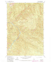
1963 Map of The Nub
USGS Topo · Published 1984About this map
The North Fork Clearwater River carves a deep path through this section of the Clearwater National Forest, defining the drainage patterns of the surrounding highlands. Dominating the upper elevations are landmarks like The Nub and the Sheep Mtn Range, where the terrain drops sharply toward the river valley. The map reveals the isolation of the Idaho wilderness in the mid-20th century, with the Collins Creek Cabin and Wallow Mtn Lookout serving as the few scattered points of human activity. River navigation and proximity are noted by river markers such as Mile 70, while smaller drainages like Skull Creek and Grizzly Creek feed into the main waterway. Landforms such as Indian Henry Ridge and the broad Moscow Bar Ridge provide a clear view of the complex ridgeline systems that challenged early Forest Service travel between the Canyon and Bungalow Ranger Stations.
Find a feature on this map
40 named features on this map. Tap any name to fly to it.
Don’t see what you’re looking for? This feature index may not catch every label — zoom into the map to look around manually.
Map Details
Editions of this 1963 The Nub Map
2 editions found
Other maps of this area

1911 · Lolo
USGS Topo · 1:250,000

1913 · Lolo
USGS Topo · 1:250,000

1923 · Washington Creek
USGS Topo · 1:125,000

1956 · Hamilton
USGS Topo · 1:250,000

1959 · Hamilton
USGS Topo · 1:250,000

1960 · Hamilton
USGS Topo · 1:250,000
1963 · Mallard Peak
USGS Topo · 1:24,000

1963 · Sheep Mtn
USGS Topo · 1:24,000
1963 · Pole Mtn
USGS Topo · 1:24,000
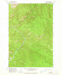
1963 · The Nub
USGS Topo · 1:24,000