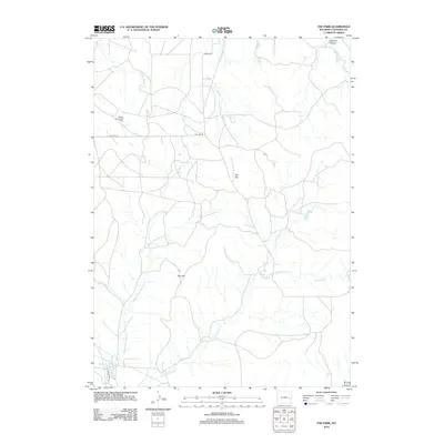
2012 Map of The Park
USGS Topo · Published 2012About this map
The Park and the elevated terrain of Flat Top define this high-plains landscape in Converse County. The area is characterized by an intricate drainage system including Middle Fork Shawnee Cr and E Fork Shawnee Cr to the south, while the northern reaches feed into W Fork Twentymile Cr and Sawmill Canyon. Energy extraction is a visible part of the local economy, represented by the Flat Top Oil and Gas Field in the northwest. Land use is further marked by water management features such as the Wintermote Number 1 Reservoir and a network of rural routes including Bill Hall Rd and Flat Top Rd that provide access through these wide-open Wyoming spaces.
Find a feature on this map
15 named features on this map. Tap any name to fly to it.
Don’t see what you’re looking for? This feature index may not catch every label — zoom into the map to look around manually.
Map Details
Editions of this 2012 The Park Map
This is the sole edition of this map. No revisions or reprints were ever made.
Other maps of this area
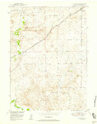
1949 · Shawnee
USGS Topo · 1:24,000
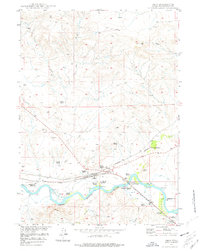
1949 · Orin
USGS Topo · 1:24,000
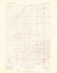
1950 · Amend Ranch
USGS Topo · 1:24,000
1950 · Orin
USGS Topo · 1:24,000
1950 · Shawnee
USGS Topo · 1:24,000
1954 · Torrington
USGS Topo · 1:250,000
1958 · Torrington
USGS Topo · 1:250,000
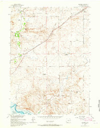
1961 · Shawnee
USGS Topo · 1:24,000
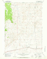
1970 · Lost Springs
USGS Topo · 1:24,000
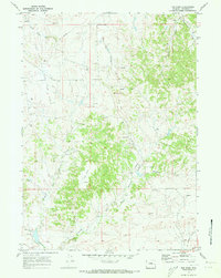
1970 · The Park
USGS Topo · 1:24,000