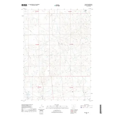
2017 Map of The Park
USGS Topo · Published 2017About this map
The Park name applies to this high plains stretch of Converse County, where the drainage networks of several creek forks carve a complex topography. This landscape is defined by the headwaters of E Fork Shawnee Cr and Middle Fork Shawnee Cr, alongside several other tributaries such as Whackoff Cr and S Fork Walker Cr. The mapping reveals a sparse but established network of rural infrastructure, including Wintermute Rd and Flat Top Rd, which connect remote ranching or energy sites across the undulating terrain. Genealogists and local historians will find the Shawnee Cem located in the southeastern portion of the map, a critical landmark for tracing early residents of this region. Water management is evident near the southern boundary at the Wintermute-Number 1 Reservoir, serving as a vital resource in this arid environment of canyons and draws like Sawmill Canyon and Fero Draw.
Find a feature on this map
24 named features on this map. Tap any name to fly to it.
Don’t see what you’re looking for? This feature index may not catch every label — zoom into the map to look around manually.
Map Details
Editions of this 2017 The Park Map
This is the sole edition of this map. No revisions or reprints were ever made.
Other maps of this area
1949 · Shawnee
USGS Topo · 1:24,000
1949 · Orin
USGS Topo · 1:24,000
1950 · Amend Ranch
USGS Topo · 1:24,000
1950 · Orin
USGS Topo · 1:24,000
1950 · Shawnee
USGS Topo · 1:24,000
1954 · Torrington
USGS Topo · 1:250,000
1958 · Torrington
USGS Topo · 1:250,000
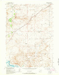
1961 · Shawnee
USGS Topo · 1:24,000
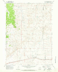
1970 · Lost Springs
USGS Topo · 1:24,000
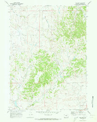
1970 · The Park
USGS Topo · 1:24,000