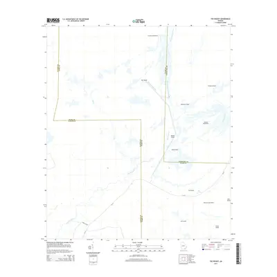
2014 Map of The Pocket
USGS Topo · Published 2014About this map
The Suwannee River carves through the wetland geography of the Georgia interior, where the Suwannee River Sill and the North Fork Suwannee River create a complex network of channels and hammocks. This terrain is characterized by numerous land features like Honey Island, Jack Island, and Palmetto Island, which stand as elevations above the surrounding water. The boundary between Clinch and Ware counties intersects these waterways, highlighting the jurisdictional divisions in this sparsely inhabited environment.
Find a feature on this map
24 named features on this map. Tap any name to fly to it.
Don’t see what you’re looking for? This feature index may not catch every label — zoom into the map to look around manually.
Map Details
Editions of this 2014 The Pocket Map
This is the sole edition of this map. No revisions or reprints were ever made.
Other maps of this area
1954 · Valdosta
USGS Topo · 1:250,000
1958 · Valdosta
USGS Topo · 1:250,000
1959 · Valdosta
USGS Topo · 1:250,000
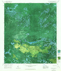
1965 · Blackjack Island
USGS Topo · 1:24,000
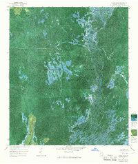
1965 · Dinner Pond
USGS Topo · 1:24,000
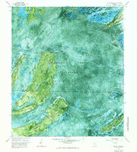
1966 · Billys Island
USGS Topo · 1:24,000
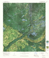
1966 · The Pocket
USGS Topo · 1:24,000
1966 · Cravens Island
USGS Topo · 1:24,000
1967 · Strange Island
USGS Topo · 1:24,000
1967 · Spooner
USGS Topo · 1:24,000